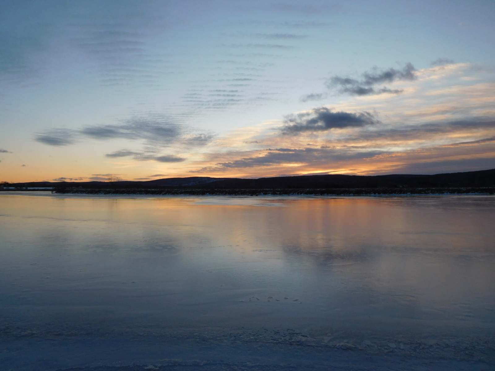
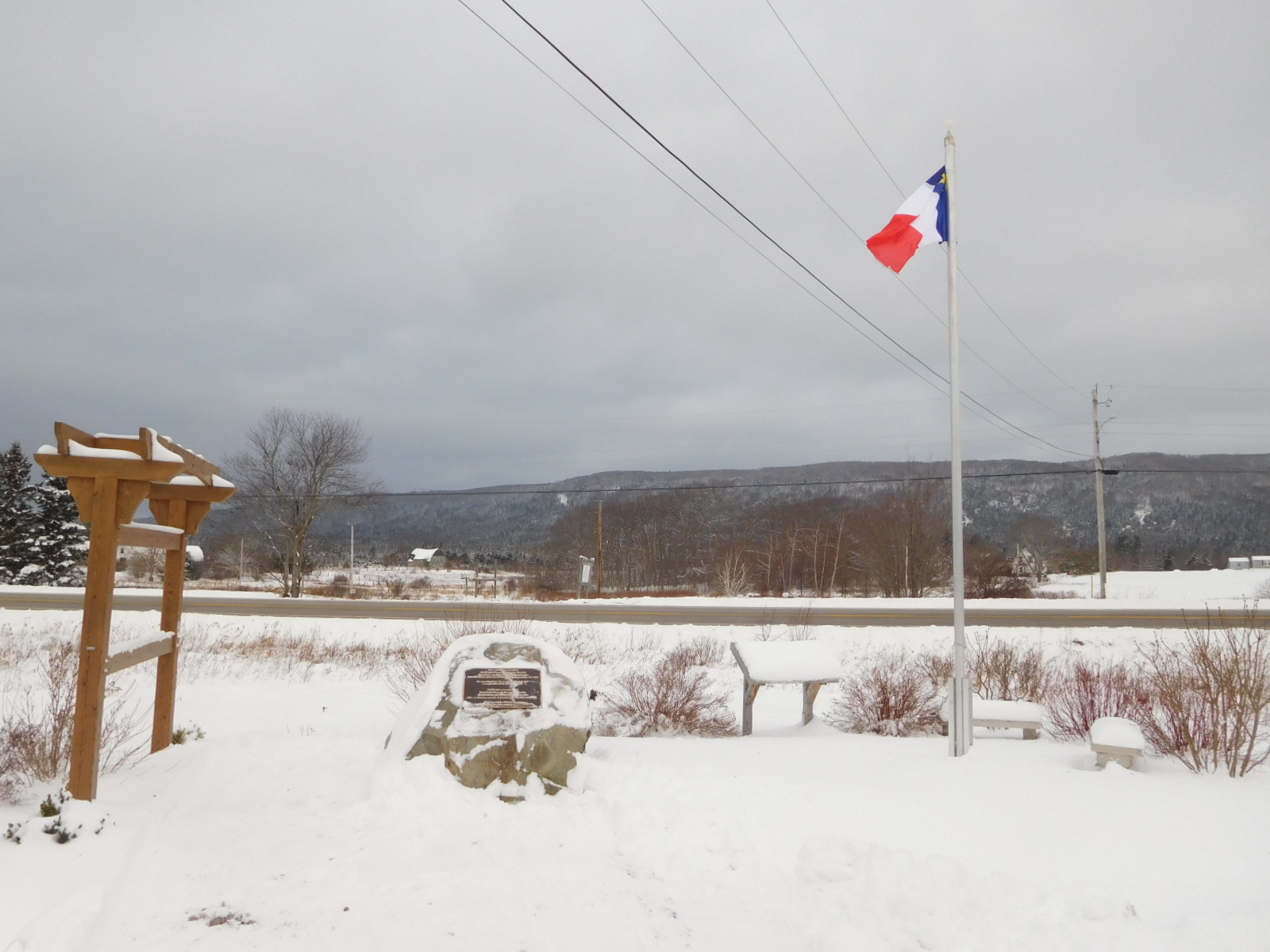
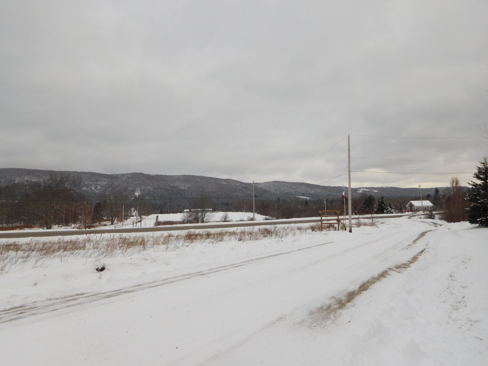
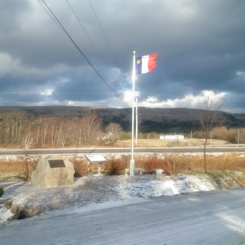
January 21st, 2018, mid-day river south mountain-water views across the LeBlanc Monument! Le 21 janvier 2018, à mi-journée, les vues sur les eaux de montagnes du sud de la rivière traversent le Monument LeBlanc!
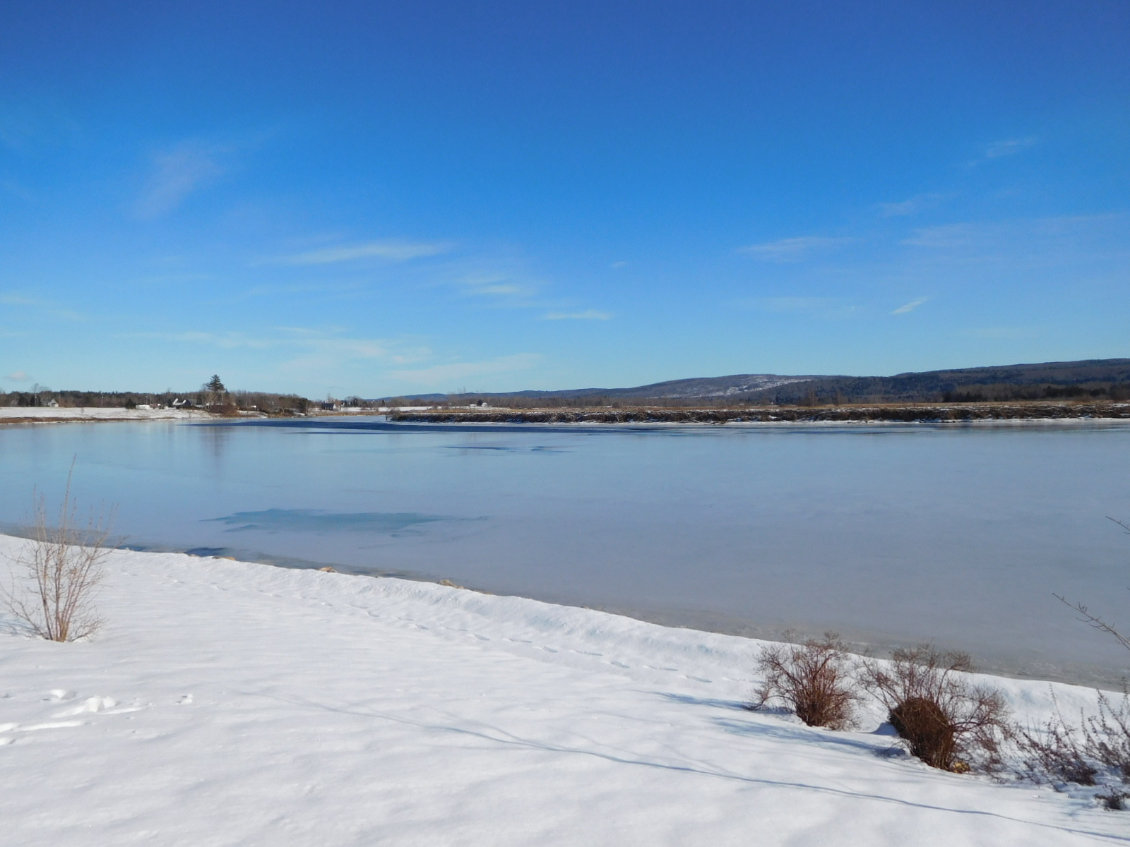
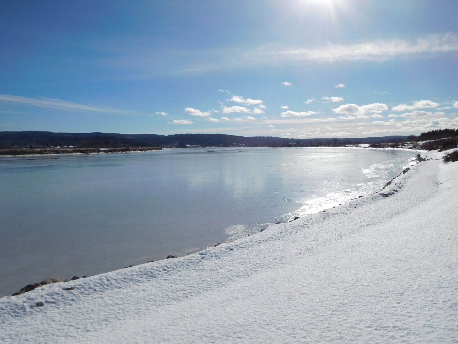
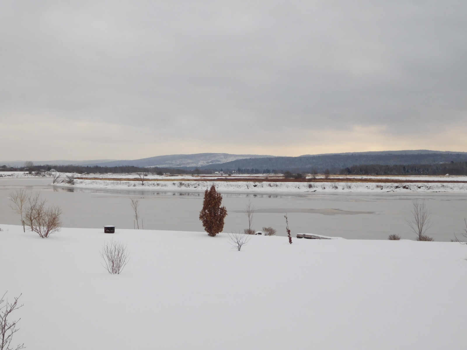
January 19th, 2018. Winterlude in Belleisle! Background of the North Mountain. This would have been the LeBlanc Family’s backyard! The front yard view (Today’s Annapolis River) would have been a bit different.